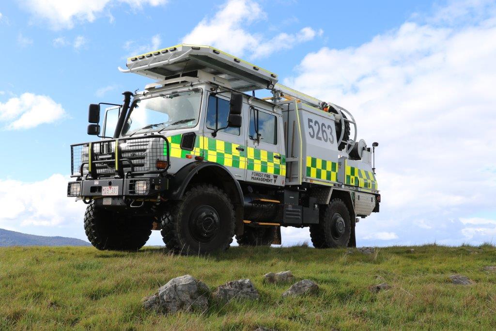
Victoria State Government to use Newtracs trail data in new bushfire response time model
Today Newtracs announced a trail data sharing partnership with the Department of Environment, Land, Water & Planning Victoria (DELWP).
Insights on the conditions of remote forest fire access trails, generated by real world travel data collected by Newtracs users, will be used by DELWP in the development of new tools to assist bushfire fighting efforts across Victoria.

The Newtracs platform provides up-to-date 4wd trail conditions information on over 11,000 Australian 4wd trails – including trail difficulty grade, average time to complete a trail, average travel speed, and recent trail traffic information.
“The Newtracs data will assist us in building a response time model that will allow us to estimate how long it will take to get to a fire in any given part of the landscape”, revealed Chris Medlin, Risk Analyst with DELWPs Forest and Fire Planning team for the Barwon South West region.
“This model starts to become really useful when coupled with fire spread simulation models, as it allows us to estimate how big a bushfire might be when first responders arrive,” he said.
“Knowing this will allow duty officers and incident controllers to make informed decisions about whether or not sufficient resources have been allocated to a fire.”

An additional benefit of an ‘accurate’ response time model – one informed by the real world experience of trail users – is that it will allow DELWP to identify and highlight parts of the forest/parks landscape that take a relatively long time to get to.
“This knowledge can then be used by emergency preparedness teams to assist with pre-planning and pre-positioning of resources,” said Medlin.
")
“The opportunity here is exciting,” revealed Newtracs Founder and CEO, James Nuccio.
The ultimate goal for Newtracs would be to enable a feedback loop for the wider 4WD & outdoor enthusiast community to have a direct impact on assisting first responders reduce the amount of bushland destroyed and lives lost due to bushfires.
“We are a community driven platform – our fire trail conditions database is populated based on real world travel data collected by our 40,000+ Australian users,” he said.
“I am grateful to each 4WDer who has logged 4wd trips using the Newtracs app given what their contribution could yield for the well-being of the natural landscape we all enjoy so much. I’m excited to see what we will be able to achieve in this space in the future.”

More information on the work done by Forest Fire Management Victoria can be found on their website, www.ffm.vic.gov.au. Further enquires about this partnership can be directed to enquiries@newtracs.com.au.


